UK 1 m LiDAR & aerial cropmark monument atlas with OsmAnd GPS exports
Megalith LiDAR is an open-source field survey atlas of unrecorded Prehistoric, Iron Age, and Roman earthwork candidates across England, detected from 1 m Environment Agency bare-earth LiDAR and 16 m aerial cropmarks.
Every candidate is cross-checked against 1888–1913 Ordnance Survey Six-Inch maps, Historic England's National Heritage List for England (NHLE), OpenStreetMap archaeology and modern confounders, and Megalithic.co.uk.
Key Features:
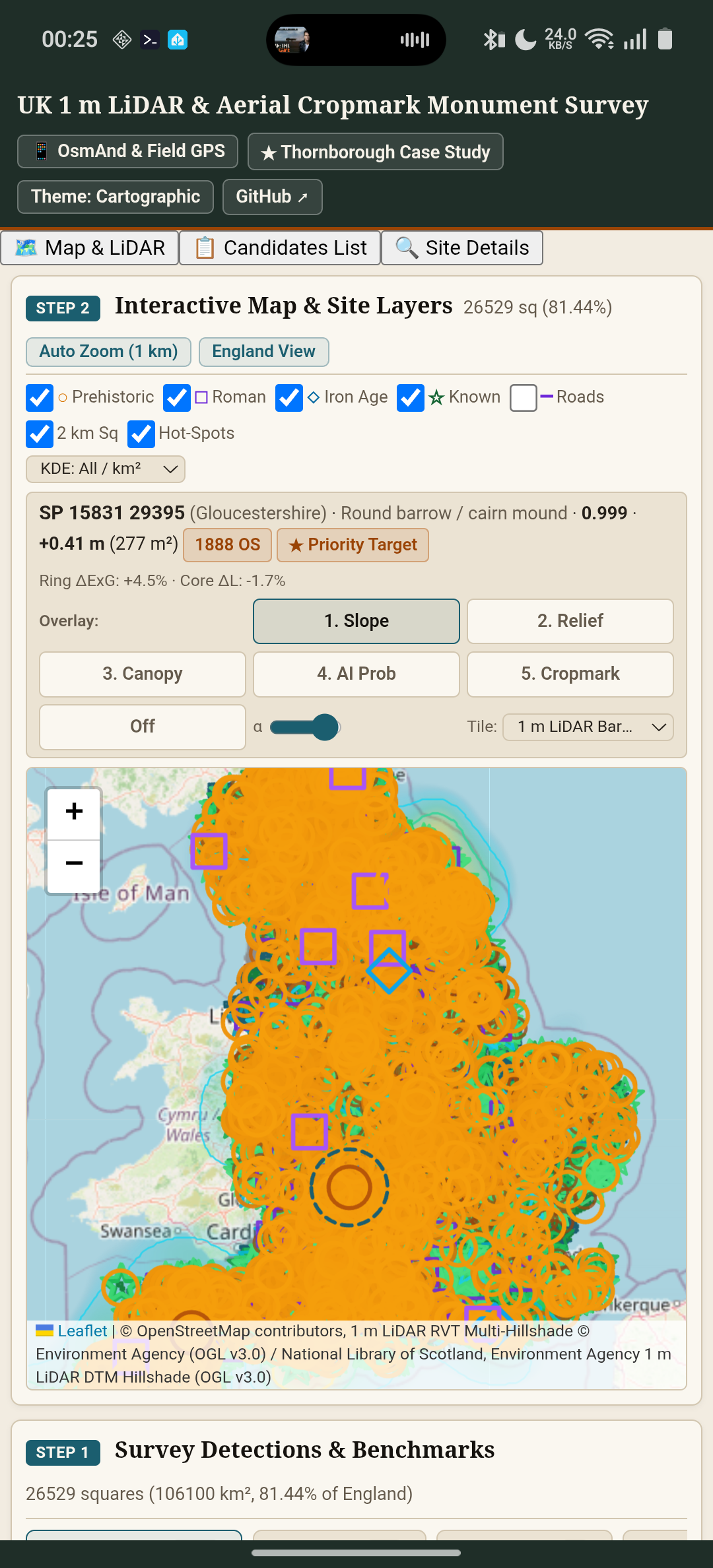
Offline Bundled Survey Dataset: Browse Prehistoric barrows, henges, Roman villas/camps/aggers, Iron Age hillforts, settlement enclosures, and rediscovered Scheduled Monuments across English counties with no account or tracking.
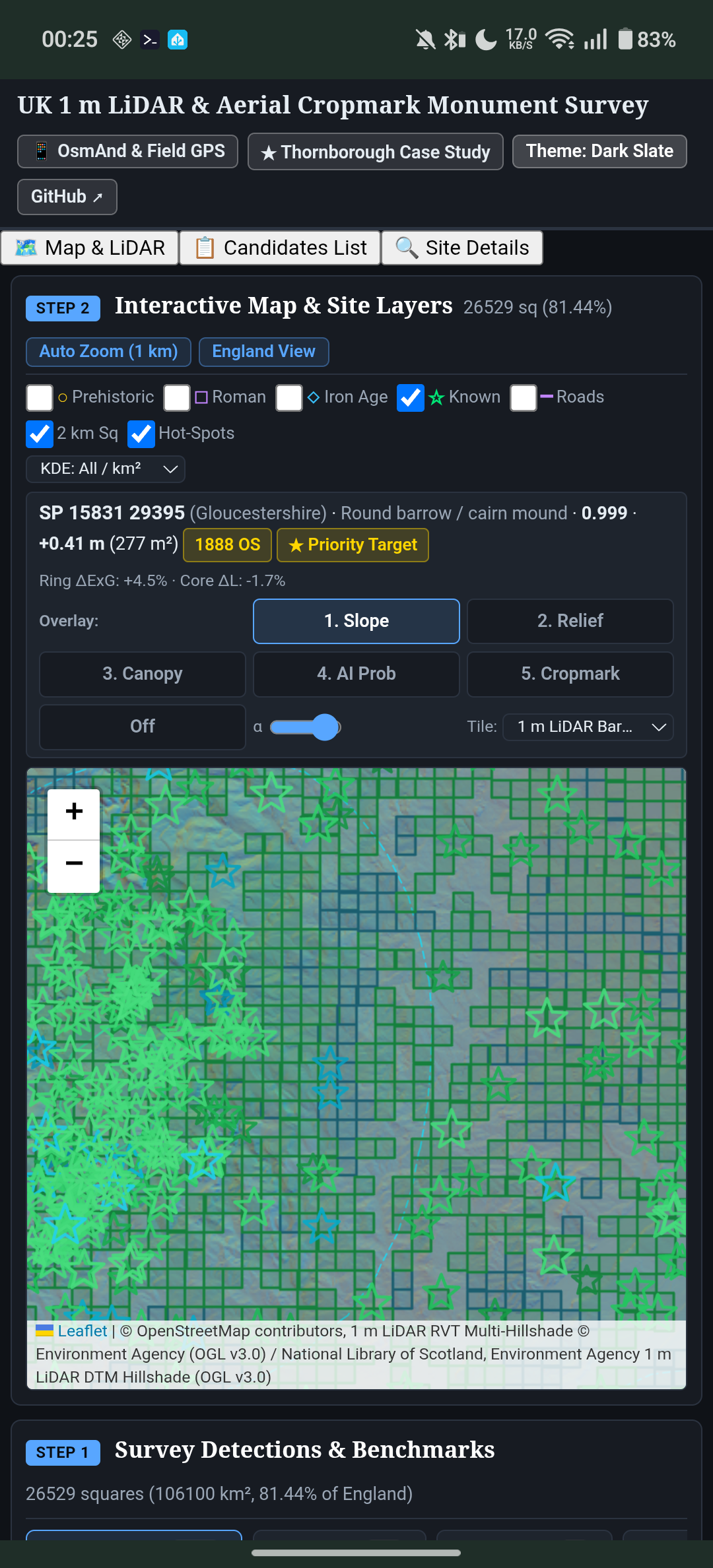
Interactive Multi-Layer Map & 7-Panel Site Inspector: Switch between 1 m LiDAR DTM Bare-Earth Hillshade, 1 m LiDAR RVT Multi-Hillshade, 1 m LiDAR DSM Canopy, 1888–1913 OS Six-Inch maps, Roman Empire Atlas (DARE), BGS 1:50k Bedrock Geology, and aerial imagery, with geo-draped 256 m × 256 m slope, 16 m local relief, canopy, AI probability, and aerial cropmark overlays.
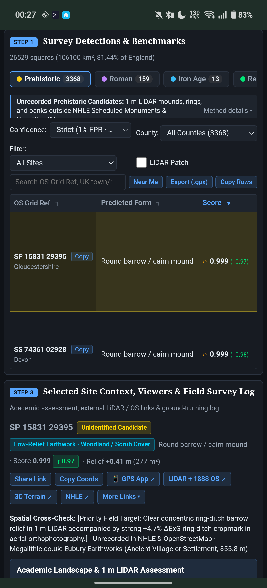
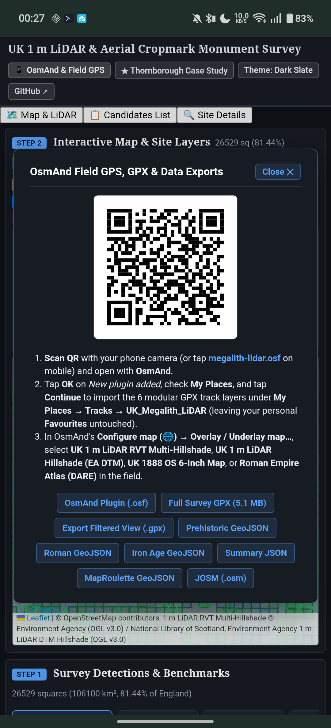
One-Tap OsmAnd & Field GPS Integration: Export the custom OsmAnd plugin (.osf) with modular GPX track layers, Roman and ancient ridgeway routes, and custom 1 m LiDAR / 1888 OS map sources, or export filtered GPX waypoints directly to OsmAnd, Organic Maps, Garmin, or QGIS.
Near Me GPS & Field Survey Log: Sort candidates by distance from your live GPS position and record ground-truthing verdicts, Historic Environment Record (HER) references, and field observations locally with JSON import/export.
Licensed under GNU AGPL v3.0. Contains Environment Agency Open LiDAR data (OGL v3.0), Historic England NHLE data (OGL v3.0), and OpenStreetMap contributors (ODbL).
Screenshots
What’s new
Initial F-Droid release (v3.2.0): - Native Android app wrapping the UK 1 m LiDAR & Aerial Cropmark Monument Survey atlas with bundled Leaflet 1.9.4 and offline England candidate dataset. - Interactive 7-panel 256 m site inspector (bare-earth slope, 16 m local relief, surface canopy, model probability, 16 m aerial cropmarks, and 1888 OS Six-Inch map cross-checks). - Native Android FileProvider sharing for OsmAnd plugin (.osf), filtered GPX waypoints (.gpx), and field survey JSON notes.
How to install
Download the APK from the button at the top of this page.
Allow “Install unknown apps” for your browser or file manager only, not for every app.
Open the downloaded file and confirm the installation.
If installation fails with “App not installed,” remove an earlier build of the same app first. A signature conflict is the usual cause.
Data safety
Every file is checked against its published SHA-256 before it is listed.
Files are scanned for malware on every update.
The permissions each app requests are listed on its own page.
Read the full safety policy for how we test, flag, and delist files.
Frequently asked questions
What is Megalith LiDAR?
UK 1 m LiDAR & aerial cropmark monument atlas with OsmAnd GPS exports
Who develops Megalith LiDAR?
Megalith LiDAR is developed by GlassOnTin.
Which Android version does Megalith LiDAR require?