Datum icon

Datum

0x44616D69616E
Sports & Health Maps & Navigation
Version
1.6.11
Size
2.9 MB
Requires
Android API 22+
4.2 / 5 · 5,177 ratings 34,989 downloads

Updated Oct 29, 2026

Quick answer

Offline topo, satellite and public land maps. No account, no ads, no tracking.

A fully offline topographic, satellite and trail map for Android, built for the moment you lose signal and still need to know where you are.

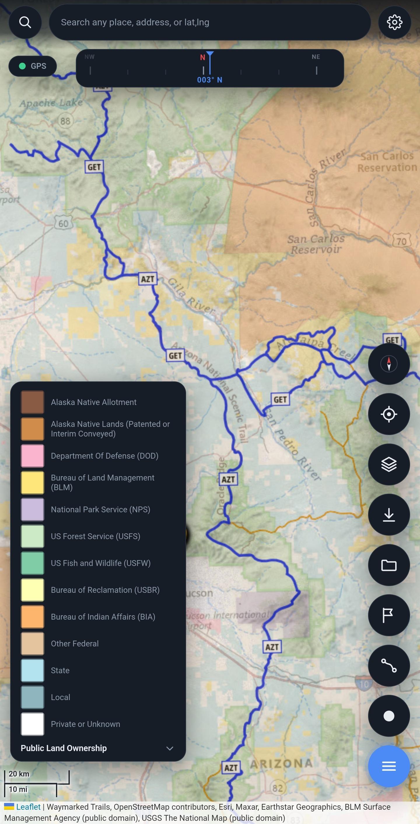
Download a region before you leave and everything keeps working with no connection: the map, GPS position, waypoints, route planning and track recording. Satellite imagery, USGS topographic contours, trails, public land ownership, borders and street labels are all cached on the device rather than fetched on demand.

Features:

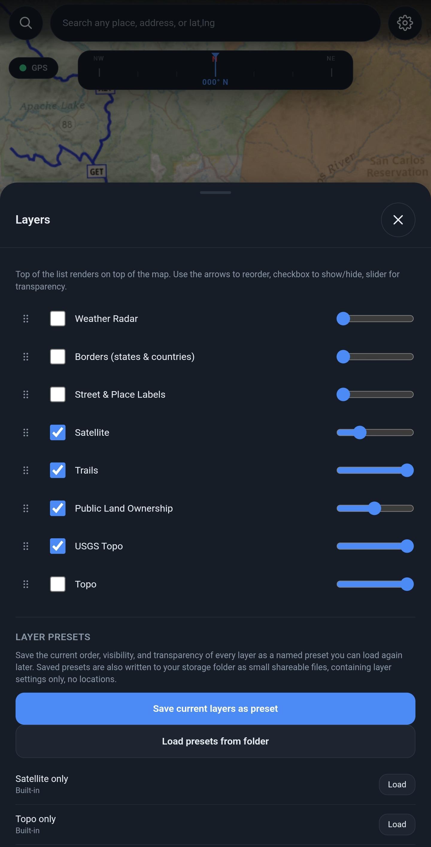
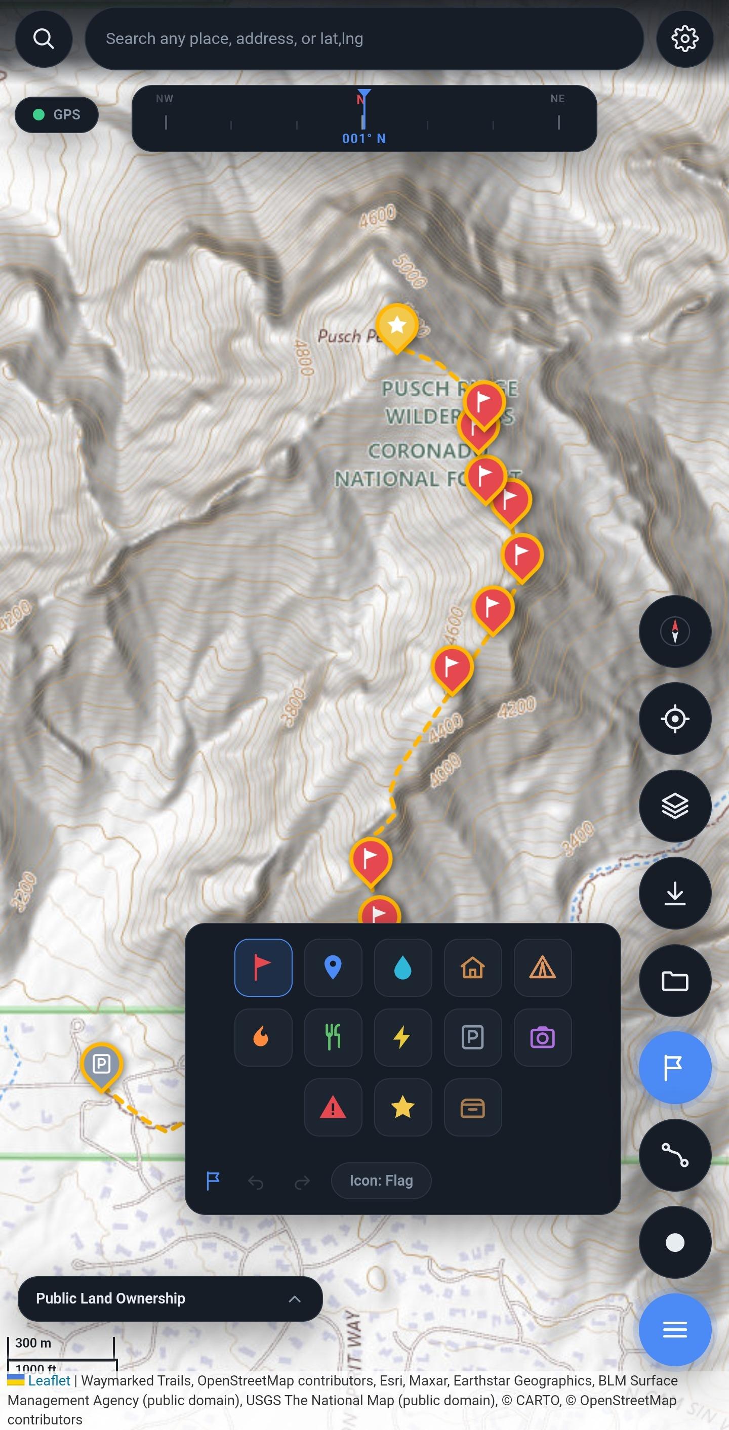
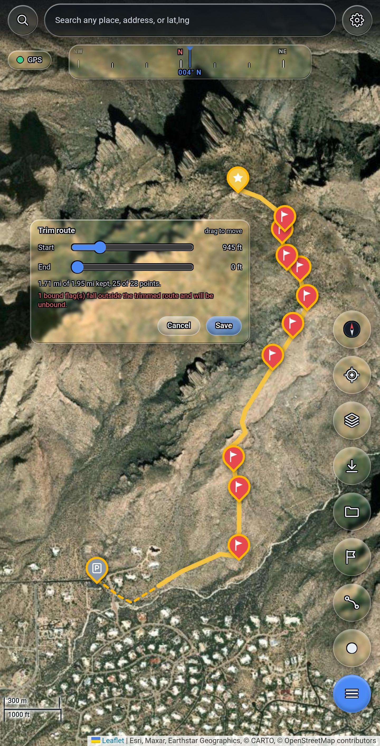
* Seven map layers that can be reordered, hidden, and given independent transparency, so contours can be read through imagery * Public land ownership from the BLM Surface Management Agency dataset, showing BLM, Forest Service, state, tribal and private land * USGS topographic contours labelled in feet, plus OpenTopoMap in metres * Waypoints with thirteen icon types, undo and redo * Route planning, either point by point or by connecting waypoints, with trimming and turn by turn navigation * Track recording with live distance and elapsed time * Sessions, so each trip's waypoints, routes and tracks stay separate * Layer presets that can be saved and shared, containing settings only and no locations

Your data is written to a folder you choose as standard GPX files as you create them, so it opens in other outdoor applications with no export step, and nothing is locked in a proprietary format. Timestamps are left out of shared files by default, because a path shows where a trail goes while timestamps also show what hours you were out.

There is no account, no advertising, no analytics and no server.

Note on the anti-feature flag: the satellite imagery layer is served by Esri, a proprietary service. Every other layer comes from public domain government or openly licensed sources. Place search uses Nominatim. All network access is initiated by the user; nothing is contacted in the background.
Screenshots

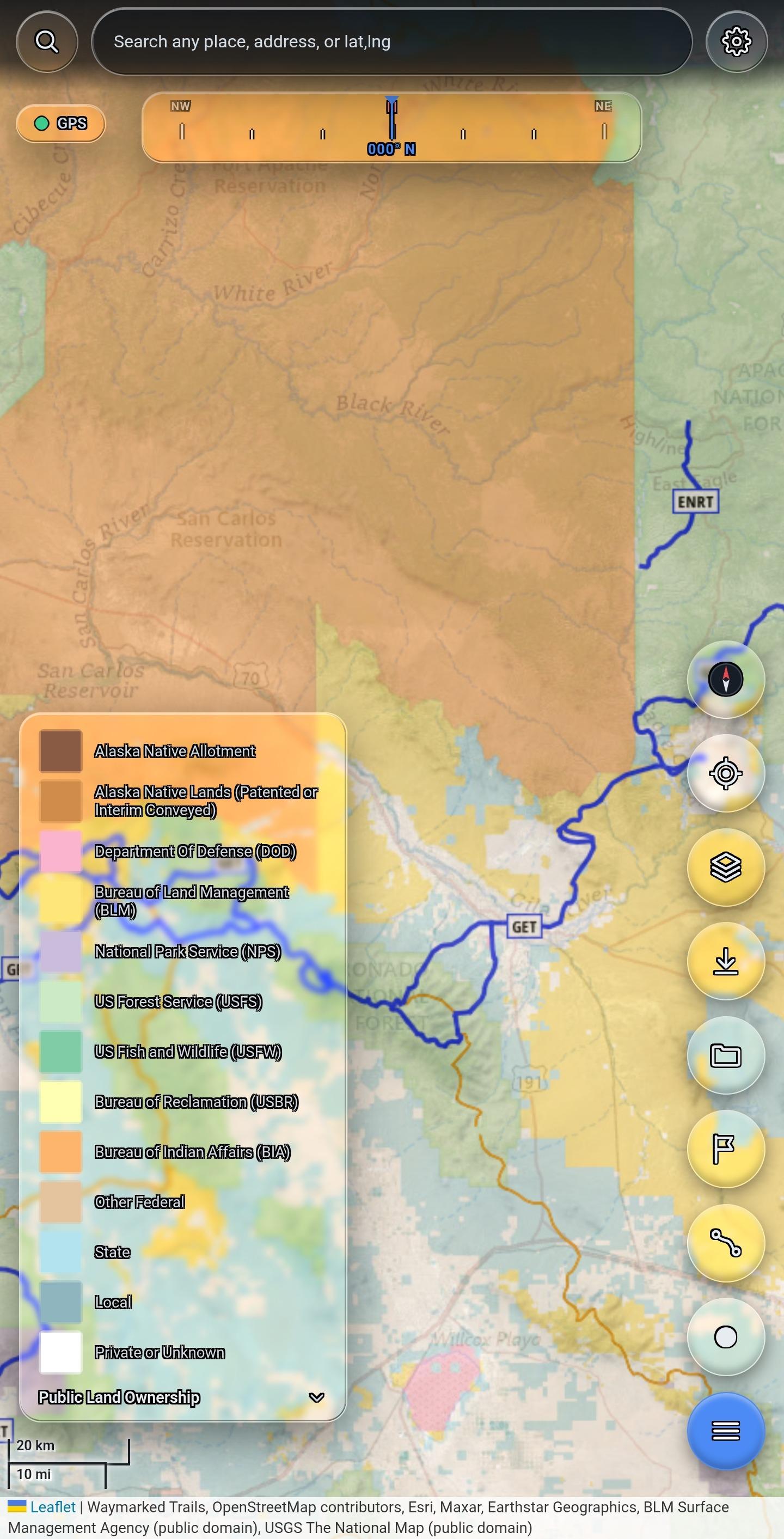
Datum screenshot 1
Datum screenshot 2
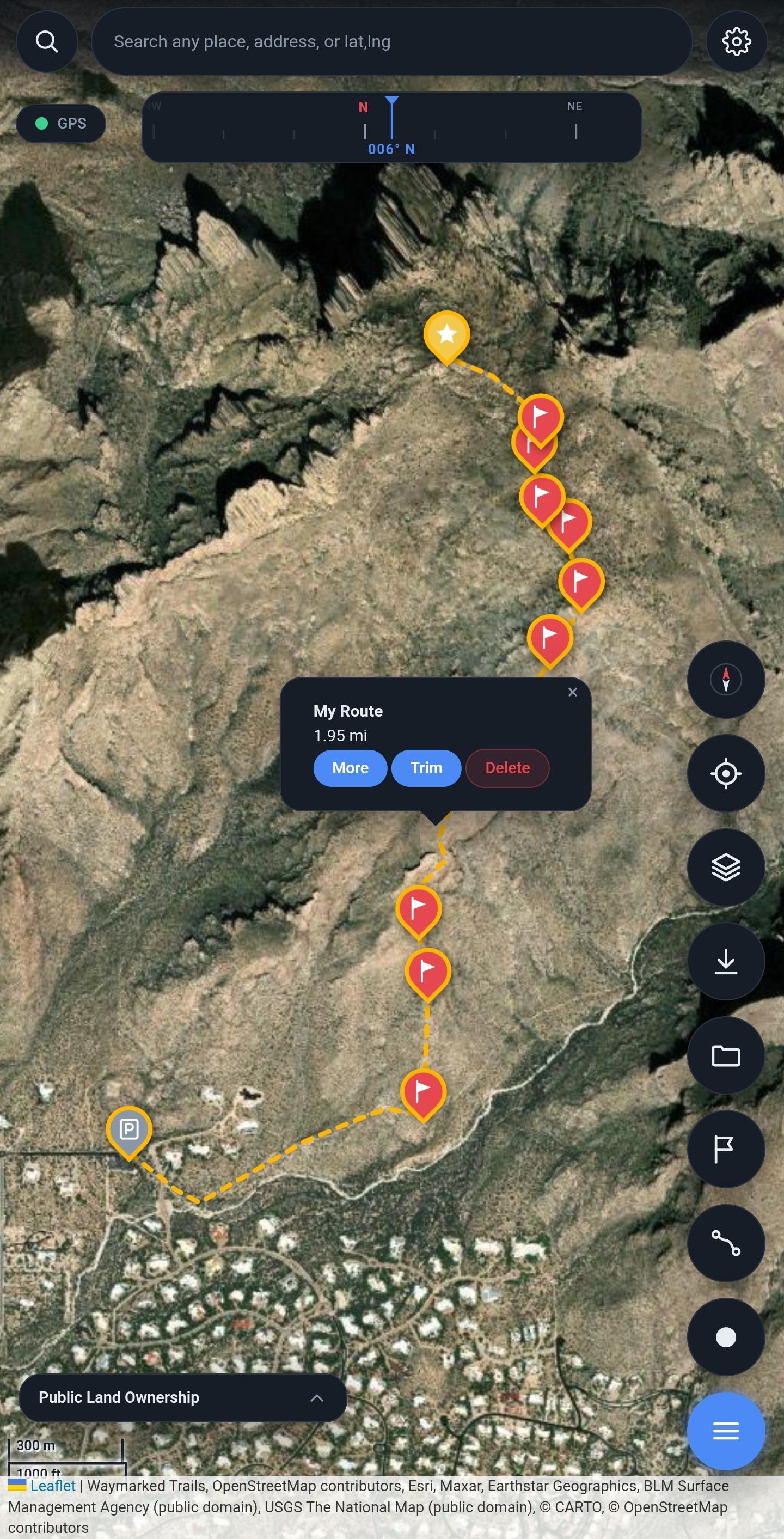
Datum screenshot 3
Datum screenshot 4
Datum screenshot 5
Datum screenshot 6

What’s new

Storage folder is now chosen with Android's folder picker, fixing setup in
Documents after a reinstall. Updating? Pick your Datum folder once when asked;
nothing is moved. Smaller R8-optimized build, new Ko-fi link, and the old
RainViewer credit is gone.

How to install

  1. Download the APK from the button at the top of this page.
  2. Allow “Install unknown apps” for your browser or file manager only, not for every app.
  3. Open the downloaded file and confirm the installation.
  4. If installation fails with “App not installed,” remove an earlier build of the same app first. A signature conflict is the usual cause.

Data safety

  • Every file is checked against its published SHA-256 before it is listed.
  • Files are scanned for malware on every update.
  • The permissions each app requests are listed on its own page.
  • Read the full safety policy for how we test, flag, and delist files.

Frequently asked questions

What is Datum?
Offline topo, satellite and public land maps. No account, no ads, no tracking.
Who develops Datum?
Datum is developed by 0x44616D69616E.
Which Android version does Datum require?
Datum requires Android API 22 or later.
What is the current version of Datum?
The synchronized F-Droid version is 1.6.11.
Which license does Datum use?
The signed F-Droid metadata lists MIT.
Where is the source code for Datum?
https://github.com/0x44616D69616E/Datum

Comments

Recent approved comments · sorted by newest

Verification code
Be specific and keep it about the app. No links. Comments are reviewed before publication. Device and Android details are recorded automatically. Privacy policy.

Loading recent comments...

View all comments