
Quick answer
Aviation mappng program, includes geo-referenced airport diagrams and plates.
F-Droid repository metadata
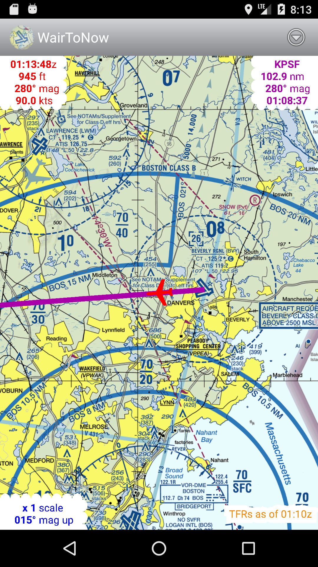
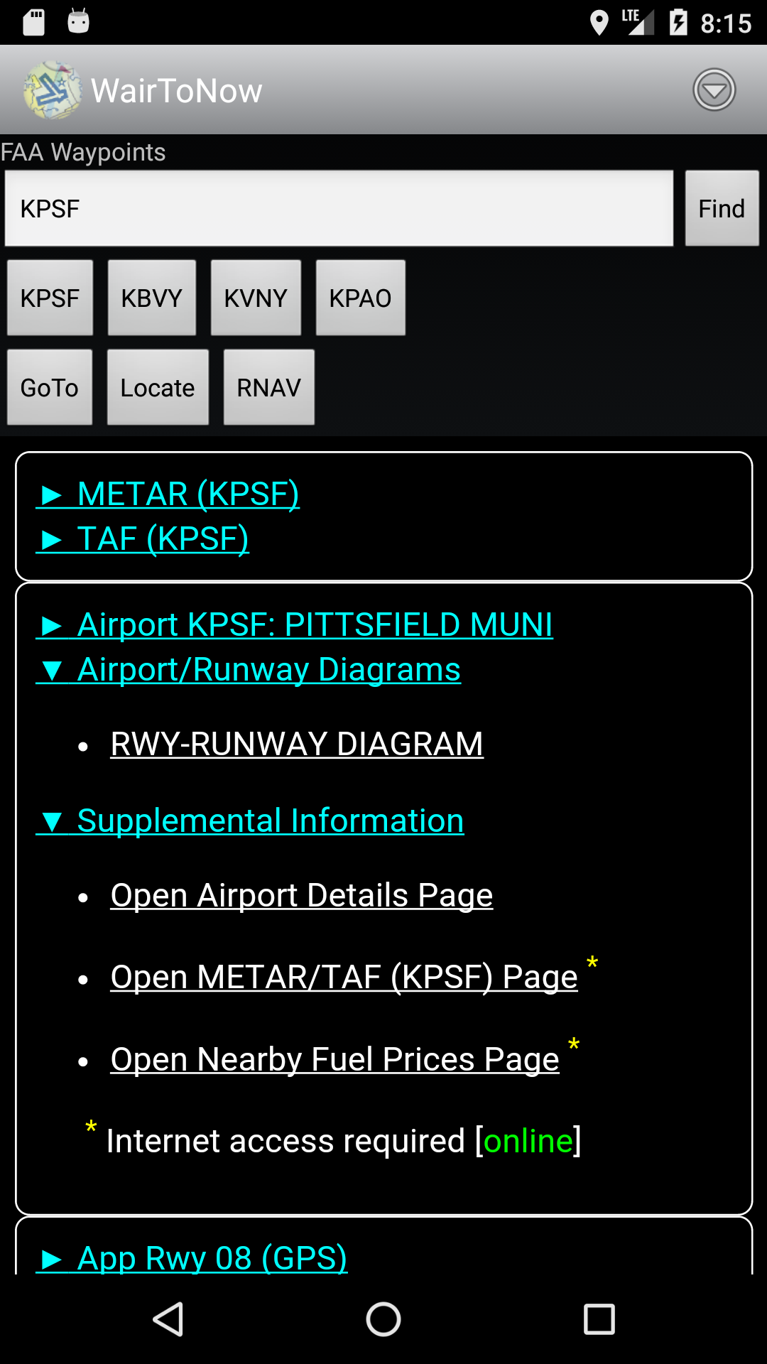
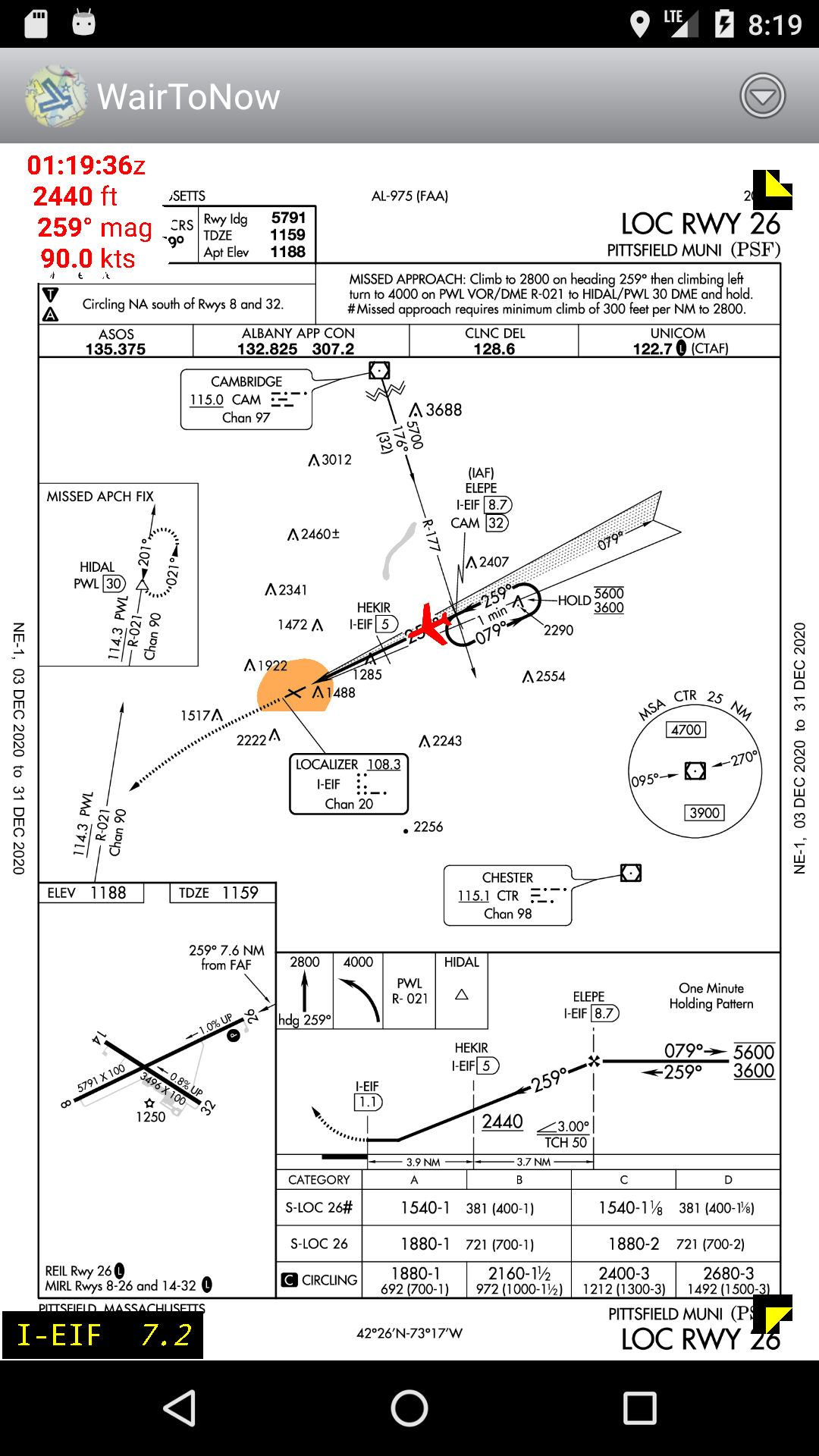
Open-source aviation mappng program, no-nonsense basics with minimum bells and whistles. Includes geo-referenced airport diagrams and approach plates. Source on https://github.com/mrieker/WairToNow
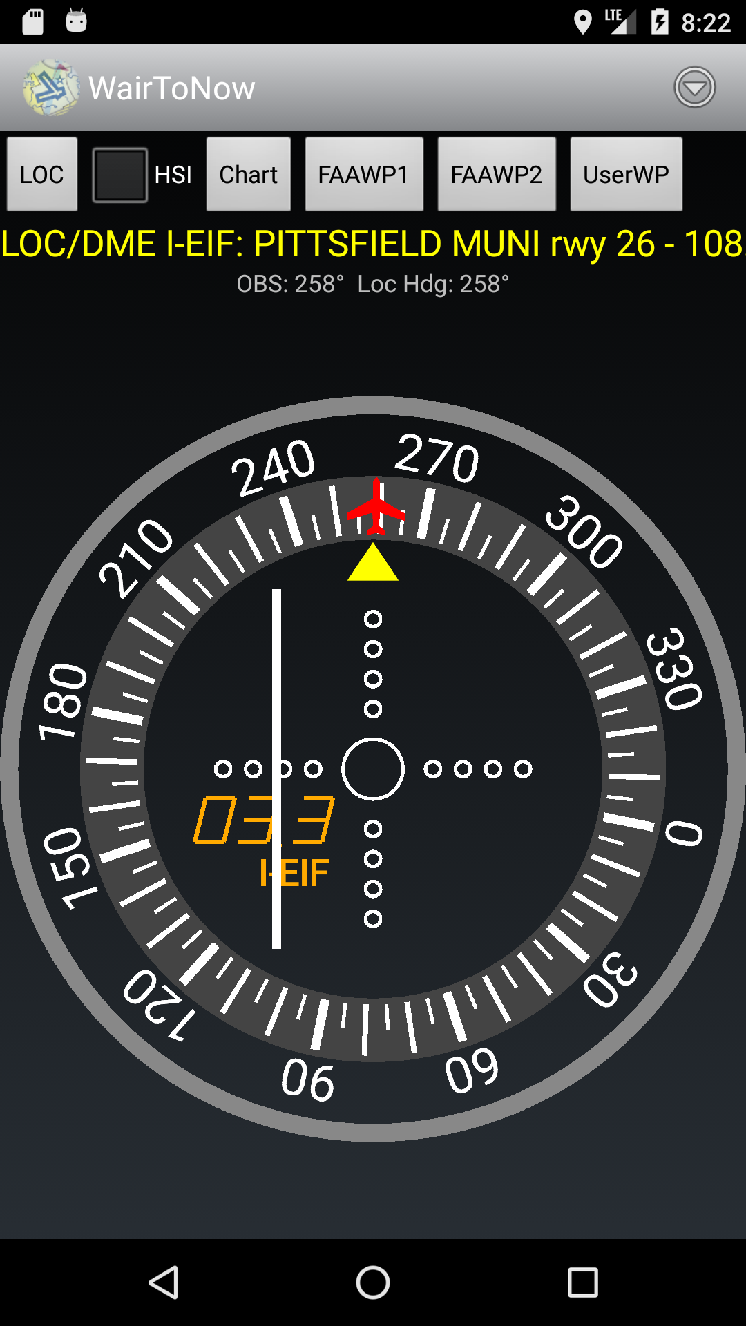
App covers areas covered by US charts, including sectionals, terminal area charts, helicopter charts and what's left of world charts. Also included is mapping via OpenStreetMaps for walking/biking to nearby $100 hamburger stands, as well as georeferenced approach plates and airport diagrams. Also provides OpenStreetMap-backed runway diagrams for all airports, though they are primarily used for those airports that don't have official FAA-provided airport diagram plates. Approach plates include an optional on-screen DME display that the user can configure.
Screenshots
How to install
- Download the APK from the button at the top of this page.
- Allow “Install unknown apps” for your browser or file manager only, not for every app.
- Open the downloaded file and confirm the installation.
- If installation fails with “App not installed,” remove an earlier build of the same app first. A signature conflict is the usual cause.
Data safety
- Every file is checked against its published SHA-256 before it is listed.
- Files are scanned for malware on every update.
- The permissions each app requests are listed on its own page.
- Read the full safety policy for how we test, flag, and delist files.
Comments
Recent approved comments · sorted by newest
View all comments